ENTRY / Storm Prediction Center. Severe-weather outlooks, watches, and discussions.
SYSTEM CREATED / FEED IMPORT PUBLISHED
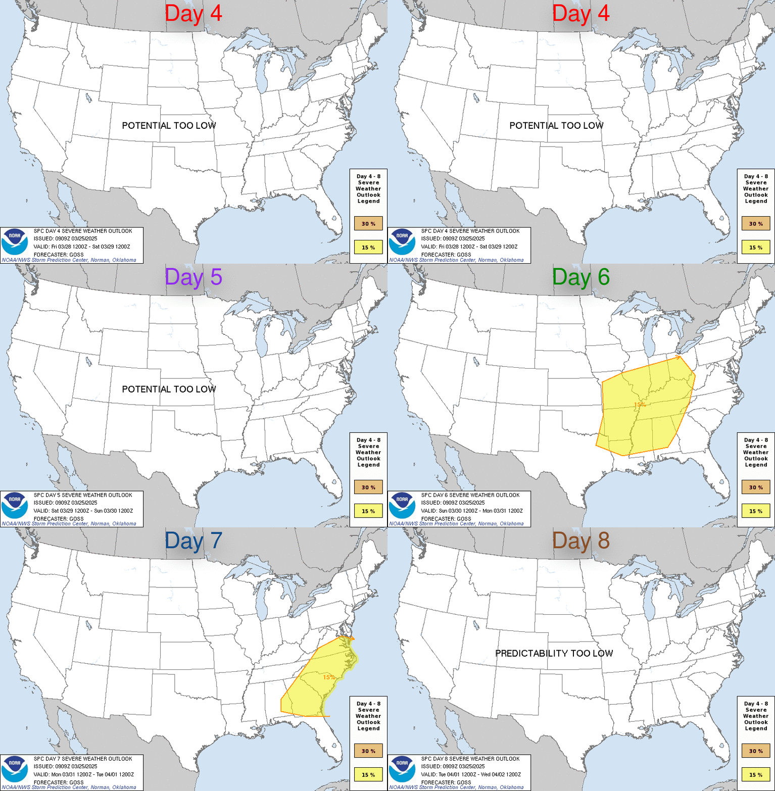
SPC Nov 5, 2026 Day 4-8 Severe Weather Outlook
Day 4-8 Outlook Day 4-8 Convective Outlook NWS Storm Prediction Center Norman OK 0344 AM CST Thu Nov 05 2026 Valid 081200Z - 131200Z ...DISCUSSION... Minimal thunderstorm potential is forecast across the CONUS through the period. Scattered showers and few elevated thunderstorms may persist over far southern TX on Sun/D4 as a positive-tilt shortwave
Thunderstorms, hail, or powerful winds may affect outdoor safety, road access, buildings, and electricity service. The practical question is which locations and forecast period are covered by the current weather warning; the actual hazard and severity need to be checked against the original meteorological notice. Weather statements can provide context for checking the latest local conditions.
severe weatherweather context
Practical implications
Check the current local weather-service forecast and warnings before travel or outdoor plans. Review access to indoor shelter, alert reception, and arrangements for a possible utility interruption in the areas actually covered.
What remains uncertain
This rule-based assessment uses only the supplied headline, summary, and tags. It does not independently verify the report, determine severity, or confirm that the reader’s location is affected.
Generated from the supplied headline, publisher summary, and tags. Built-in rules suggest possible preparedness implications; they do not independently verify the report. How context is prepared
WATCHER CONVERSATION
Discussion 0
Add useful context. Replies stay with the comment they answer.
No comments yet. Start the conversation.
SPC Nov 5, 2026 Day 4-8 Severe Weather Outlook | Critical Threat Watch
No comments yet. Start the conversation.