INDEPENDENT SITUATIONAL AWARENESS
CRITICALTHREAT WATCH_
THE PREPAREDNESS NEWS TERMINAL

Stay informed.
Stay one step ahead.

EST. 2026 /// SIGNAL OVER NOISE
COMMUNITY SIGNALS

Vote on stories. Share what matters.

CRITICAL THREAT WATCH

Welcome back.

Log in to vote, comment, and share stories with the community.

COMMUNITY SUBMISSION

Add a signal.

Share a link and a clear headline. Your story will be labeled as added by @.

Stories from accounts younger than seven days appear after administrator approval. Queued stories stay private until reviewed.

ON THE WIRE

Global developments. Local readiness. Original sources, ranked by readers.

RSS / ATOM / X USERS + HASHTAGS
01 /

THE LIVE WIRE

LIVE

Locations are reviewed, not inferred. Time windows apply to the live feed. Browse older entries in the archive Follow topics and manage your digest

Highest net score first: upvotes minus downvotes, then newest date.
Page 1 of 1Showing 1-16 of 16 entries
FILTERED BY
SYSTEM CREATED / FEED IMPORT
TOP RANKED SIGNAL

SPC MD 2448

MD 2448 CONCERNING SEVERE POTENTIAL...WATCH UNLIKELY FOR NORTHWESTERN WASHINGTON STATE Mesoscale Discussion 2448 NWS Storm Prediction Center Norman OK 0637 PM CST Sat Nov 07 2026 Areas affected...northwestern Washington State Concerning...Severe potential...Watch unlikely Valid 080037Z - 080230Z Probability of Watch Issuance...5 percent SUMMARY...A

0
SYSTEM CREATED / FEED IMPORT

SPC Nov 5, 2026 1300 UTC Day 1 Convective Outlook

SPC 1300Z Day 1 Outlook Day 1 Convective Outlook NWS Storm Prediction Center Norman OK 0648 AM CST Thu Nov 05 2026 Valid 051300Z - 061200Z ...NO SEVERE THUNDERSTORM AREAS FORECAST... ...SUMMARY... Severe storms are unlikely today and tonight. ...Synopsis... Early-morning satellite imagery reveals several shortwave troughs within the active upper pa

0
SYSTEM CREATED / FEED IMPORT

SPC Nov 5, 2026 Day 4-8 Severe Weather Outlook

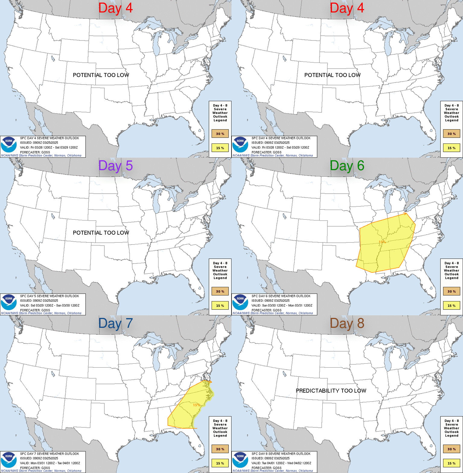
Day 4-8 Outlook Day 4-8 Convective Outlook NWS Storm Prediction Center Norman OK 0344 AM CST Thu Nov 05 2026 Valid 081200Z - 131200Z ...DISCUSSION... Minimal thunderstorm potential is forecast across the CONUS through the period. Scattered showers and few elevated thunderstorms may persist over far southern TX on Sun/D4 as a positive-tilt shortwave

0
SYSTEM CREATED / FEED IMPORT

SPC Nov 5, 2026 0830 UTC Day 3 Severe Thunderstorm Outlook

SPC 0830Z Day 3 Outlook Day 3 Convective Outlook NWS Storm Prediction Center Norman OK 0214 AM CST Thu Nov 05 2026 Valid 071200Z - 081200Z ...NO THUNDERSTORM AREAS FORECAST... ...SUMMARY... Thunderstorms are unlikely on Saturday. ...Synopsis... An upper low will move across the northeastern states on Saturday with another shortwave aloft diving sou

0
SYSTEM CREATED / FEED IMPORT

SPC Nov 5, 2026 0700 UTC Day 2 Convective Outlook

SPC 0700Z Day 2 Outlook Day 2 Convective Outlook NWS Storm Prediction Center Norman OK 1244 AM CST Thu Nov 05 2026 Valid 061200Z - 071200Z ...THERE IS A MARGINAL RISK OF SEVERE THUNDERSTORMS OVER THE EASTERN CAROLINAS AND FAR SOUTHEAST VIRGINIA... ...SUMMARY... A few strong to severe storms are possible Friday over parts of the eastern Carolinas an

0
SYSTEM CREATED / FEED IMPORT

SPC Nov 5, 2026 0600 UTC Day 1 Convective Outlook

SPC 1200Z Day 1 Outlook Day 1 Convective Outlook NWS Storm Prediction Center Norman OK 1151 PM CST Wed Nov 04 2026 Valid 051200Z - 061200Z ...NO SEVERE THUNDERSTORM AREAS FORECAST... ...SUMMARY... Severe storms are unlikely today and tonight. ...Synopsis... An upper low over the Great Lakes is forecast to strengthen through the day today as it merg

0
SYSTEM CREATED / FEED IMPORT

SPC MD 2446

MD 2446 CONCERNING SEVERE POTENTIAL...WATCH UNLIKELY FOR NORTH-CENTRAL AND NORTHEAST GEORGIA INTO PORTIONS OF FAR WESTERN NORTH CAROLINA AND UPSTATE SOUTH CAROLINA Mesoscale Discussion 2446 NWS Storm Prediction Center Norman OK 0819 PM CST Wed Nov 04 2026 Areas affected...north-central and northeast Georgia into portions of far western North Caroli

0
SYSTEM CREATED / FEED IMPORT

SPC Nov 5, 2026 0100 UTC Day 1 Convective Outlook

SPC 0100Z Day 1 Outlook Day 1 Convective Outlook NWS Storm Prediction Center Norman OK 0657 PM CST Wed Nov 04 2026 Valid 050100Z - 051200Z ...THERE IS A MARGINAL RISK OF SEVERE THUNDERSTORMS ACROSS PORTIONS OF THE SOUTHEAST... ...SUMMARY... Thunderstorms with sporadic wind gusts and a brief tornado will remain possible across parts of the Southeast

0
SYSTEM CREATED / FEED IMPORT

SPC MD 2445

MD 2445 CONCERNING SEVERE POTENTIAL...WATCH UNLIKELY FOR PORTIONS OF CENTRAL AND EASTERN GEORGIA Mesoscale Discussion 2445 NWS Storm Prediction Center Norman OK 0456 PM CST Wed Nov 04 2026 Areas affected...Portions of central and eastern Georgia Concerning...Severe potential...Watch unlikely Valid 042256Z - 050030Z Probability of Watch Issuance...2

0
SYSTEM CREATED / FEED IMPORT

SPC Day 3-8 Fire Weather Outlook

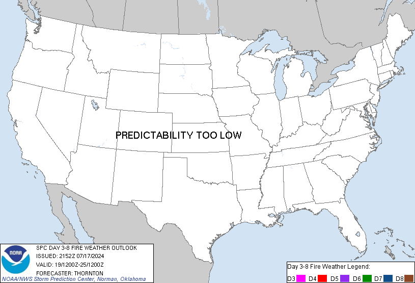
SPC Day 3-8 Fire Weather Outlook Day 3-8 Fire Weather Outlook NWS Storm Prediction Center Norman OK 0332 PM CST Wed Nov 04 2026 Valid 061200Z - 121200Z ...Synopsis... Upper-level ridging will build in over much of the western U.S. on Day 3/Friday, transitioning temperatures from below/near-normal to above normal starting this weekend. Consensus of

0
SYSTEM CREATED / FEED IMPORT

SPC Nov 4, 2026 2000 UTC Day 1 Convective Outlook

SPC 2000Z Day 1 Outlook Day 1 Convective Outlook NWS Storm Prediction Center Norman OK 0144 PM CST Wed Nov 04 2026 Valid 042000Z - 051200Z ...THERE IS A MARGINAL RISK OF SEVERE THUNDERSTORMS THIS AFTERNOON AND EVENING OVER PARTS OF THE SOUTHEAST STATES... ...SUMMARY... Thunderstorms with isolated severe wind gusts and a tornado or two will be possi

0
SYSTEM CREATED / FEED IMPORT

SPC Nov 4, 2026 1930 UTC Day 3 Severe Thunderstorm Outlook

SPC 1930Z Day 3 Outlook Day 3 Convective Outlook NWS Storm Prediction Center Norman OK 0110 PM CST Wed Nov 04 2026 Valid 061200Z - 071200Z ...THERE IS A MARGINAL RISK OF SEVERE THUNDERSTORMS ACROSS PORTIONS OF THE EASTERN CAROLINAS AND SOUTHEAST VIRGINIA... ...SUMMARY... A few strong to severe storms are possible Friday over parts of the eastern Ca

0
SYSTEM CREATED / FEED IMPORT

SPC Day 2 Fire Weather Outlook

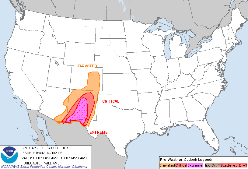
SPC Day 2 Fire Weather Outlook Day 2 Fire Weather Outlook NWS Storm Prediction Center Norman OK 1227 PM CST Wed Nov 04 2026 Valid 051200Z - 061200Z ...NO CRITICAL AREAS... The forecast remains on track for Day 2/Thursday with reduced fire weather concerns across the CONUS. ..Elizalde-Garcia.. 11/04/2026 .PREV DISCUSSION... /ISSUED 1159 PM CST Tue N

0
SYSTEM CREATED / FEED IMPORT

SPC Nov 4, 2026 1730 UTC Day 2 Convective Outlook

SPC 1730Z Day 2 Outlook Day 2 Convective Outlook NWS Storm Prediction Center Norman OK 1123 AM CST Wed Nov 04 2026 Valid 051200Z - 061200Z ...NO SEVERE THUNDERSTORM AREAS FORECAST... ...SUMMARY... Severe storms are unlikely on Thursday. ...Synopsis... A mid/upper trough extending from the Great Lakes to the central/southern Plains early Thursday wi

0