SYSTEM CREATED / FEED IMPORT
TOP RANKED SIGNAL
M 5.2 - 21 km WNW of Popondetta, Papua New Guinea
Time 2026-11-10 17:36:49 UTC 2026-11-10 17:36:49 UTC at epicenter Location 8.721°S 148.043°E Depth 124.25 km (77.20 mi)
Stay informed.
Stay one step ahead.
Locations are reviewed, not inferred. Time windows apply to the live feed. Browse older entries in the archive Follow topics and manage your digest
Time 2026-11-10 17:36:49 UTC 2026-11-10 17:36:49 UTC at epicenter Location 8.721°S 148.043°E Depth 124.25 km (77.20 mi)
Time 2026-11-10 13:37:53 UTC 2026-11-10 13:37:53 UTC at epicenter Location 64.712°N 17.281°W Depth 10.00 km (6.21 mi)
Time 2026-11-10 15:52:55 UTC 2026-11-10 15:52:55 UTC at epicenter Location 10.898°S 165.737°E Depth 48.33 km (30.03 mi)
Time 2026-11-10 15:51:35 UTC 2026-11-10 15:51:35 UTC at epicenter Location 0.923°S 128.709°E Depth 10.00 km (6.21 mi)
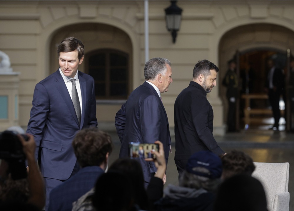
Talks on peace in Ukraine are set to continue this week in Abu Dhabi. And this time, the EU appears to have found a way into the room. But what can actually be expected from these negotiations?
The recent elections in Israel and the US create a narrow geopolitical opening for de-escalation in the Middle East, which Europe should seize upon instead of playing wait and see.
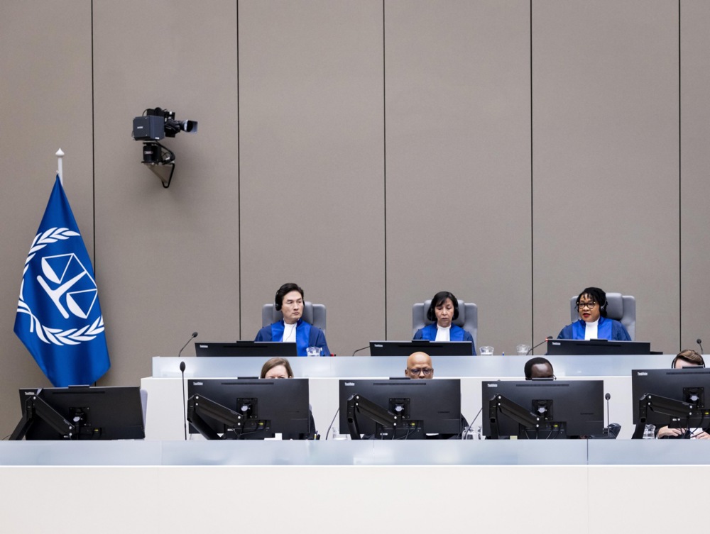
The US midterms have opened a political window for Europe. With a key US licence expiring in April 2027, Brussels must turn its rhetorical support for the ICC into concrete action before this opportunity closes.
Last updated: --- The type of incident is Prescribed Fire and involves the following unit(s) Cibola National Forest. --- State: New Mexico --- Coordinates: Latitude: 33° 55 39.3708 Longitude: 107° 37 23.8944 --- NOTE: All fire perimeters and points are approximations. --- Incident Overview: ALBUQUERQUE, NM – November 9, 2026 – The Cibola National F
PAGER - GREEN ShakeMap - VI Time 2026-11-09 03:34:59 UTC 2026-11-09 03:34:59 UTC at epicenter Location 10.867°S 165.562°E Depth 17.00 km (10.56 mi)
Last updated: --- The type of incident is Prescribed Fire and involves the following unit(s) San Bernardino National Forest. --- State: California --- Coordinates: Latitude: 33° 38 15 Longitude: 116° 40 3 --- NOTE: All fire perimeters and points are approximations. --- Incident Overview: Prescribed Burn planned for Thomas Mountain Project November
Last updated: 2026-11-07 --- The type of incident is Wildfire and involves the following unit(s) Bighorn National Forest. --- State: Wyoming --- Coordinates: Latitude: 44° 19 7.3812 Longitude: 106° 55 57.18 --- NOTE: All fire perimeters and points are approximations. --- Incident Overview: Burning 12 miles west of Buffalo, Wyoming.
Discussions on the EU envoy will take place at an informal summit in Dublin on 13 November, after Italian prime minister Giorgia Meloni bewailed the current "disarray" of various European diplomatic formats on the war.
The recommendations come amid attacks targeting fridges and freezers in supermarkets and blood banks in Europe. The post US Agencies Urge Organizations to Harden Refrigeration Controllers appeared first on SecurityWeek .
European governments may draw the wrong lesson. Americans voted on Tuesday about inflation, the Iran war and Trump himself, not about European security. Europe should not behave as if they had.
Last updated: 2026-11-05 --- The type of incident is Wildfire and involves the following unit(s) Allegheny National Forest. --- State: Pennsylvania --- Coordinates: Latitude: 41° 57 7.2 Longitude: 78° 54 45.3 --- NOTE: All fire perimeters and points are approximations. --- Incident Overview: Active wildfire activity was reported around 3:15 p.m. on
As Washington hands its autonomous warfare roadmap to Musk and other defence-industry moguls, European leaders in Geneva must decide whether to copy a model that speeds up killing, while hollowing out accountability for civilian deaths.
Sweeping US mid-term election wins by the Democrats have earned only muted or scattered responses and reactions from Europe's leadership.
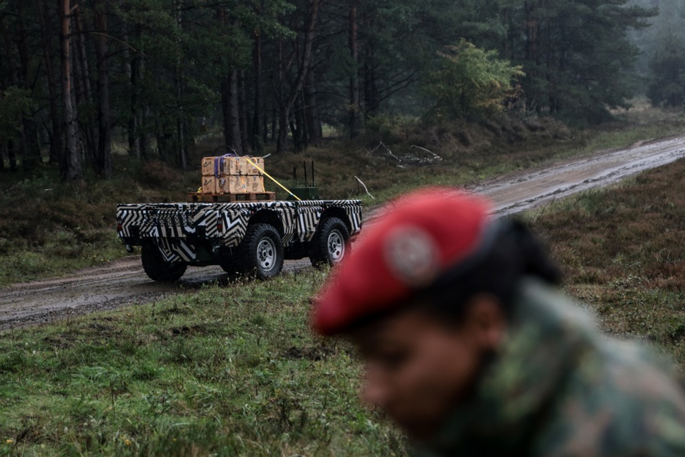
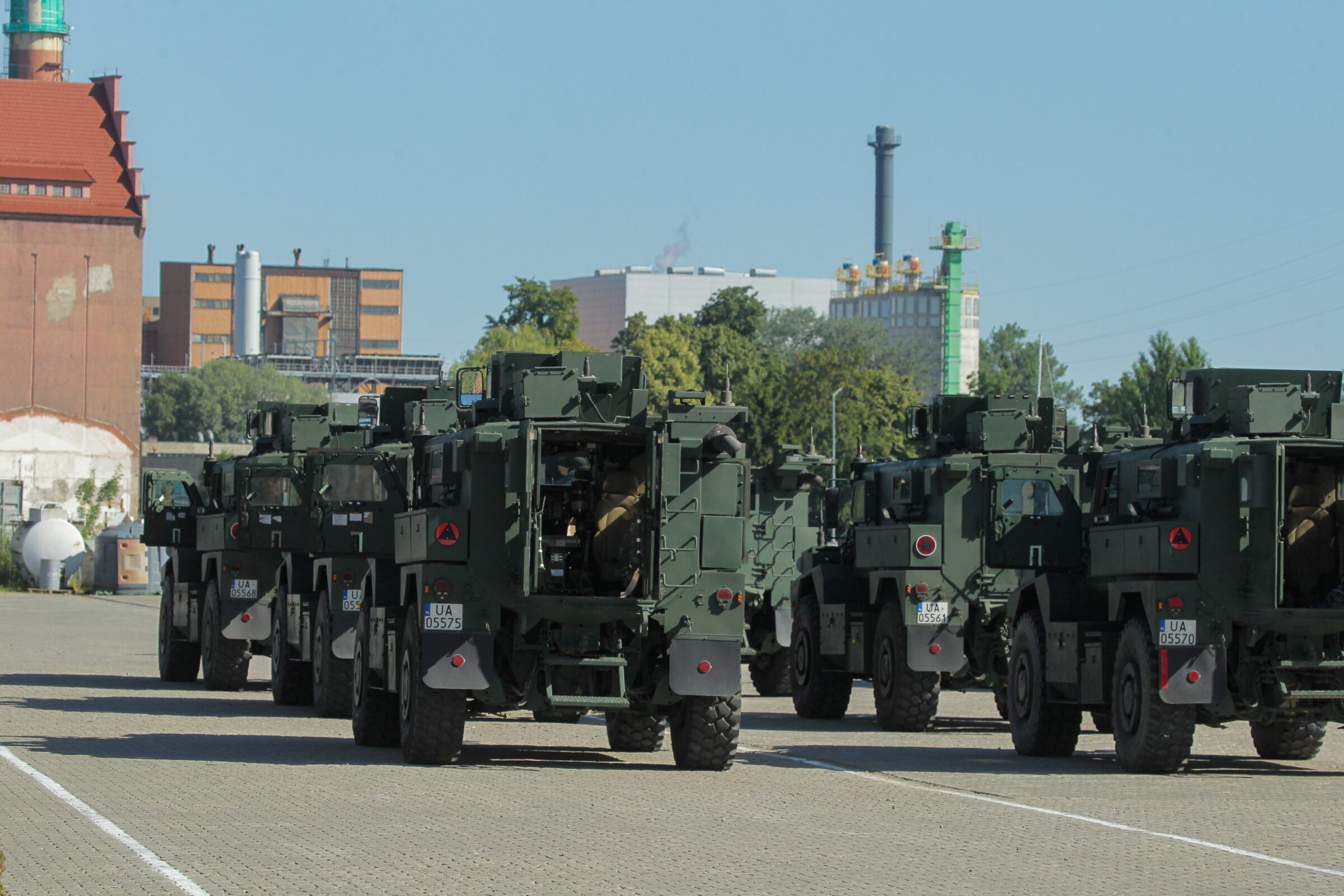
A large-scale military exercise is about to begin in Poland, starting Monday, 9 October. The coalition of the willing is testing how their forces work together and sending a political message supporting Ukraine.
Last updated: 2026-11-04 --- The type of incident is Wildfire and involves the following unit(s) White Mountain National Forest. --- State: New Hampshire --- Coordinates: Latitude: 44° 19 50 Longitude: 71° 1 53 --- NOTE: All fire perimeters and points are approximations. --- Incident Overview: The Wild River Fire on the Androscoggin Ranger District
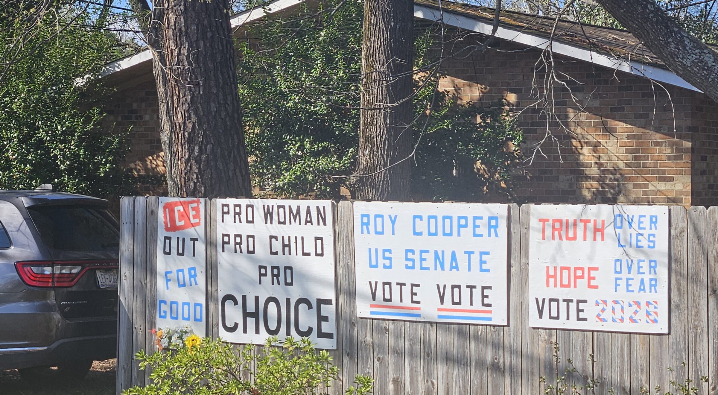
Cary is just a small town in North Carolina. But it is also part of a larger campaign by the Democrats to take over the Senate during this mid-term election.
Being hamstrung by a Democrat Congress could embolden Donald Trump to become even more radical on foreign policy.
Last updated: 2026-11-03 --- The type of incident is Prescribed Fire and involves the following unit(s) Bitterroot National Forest. --- State: Montana --- Coordinates: Latitude: 46° 16 16 Longitude: 114° 09 29 --- NOTE: All fire perimeters and points are approximations. --- Incident Overview: Pile burning planned today, Nov. 3 on the Bitterroot Nat
PAGER - GREEN ShakeMap - I Time 2026-10-29 07:49:50 UTC 2026-10-29 07:49:50 UTC at epicenter Location 36.406°S 98.049°W Depth 10.00 km (6.21 mi)
Last updated: 2026-10-28 --- The type of incident is Prescribed Fire and involves the following unit(s) Cibola National Forest. --- State: New Mexico --- Coordinates: Latitude: 35° 4 24.3 Longitude: 106° 18 60 --- NOTE: All fire perimeters and points are approximations. --- Incident Overview: ALBUQUERQUE, NM – October 22, 2026 – The Cibola National
Last updated: 2026-10-22 --- The type of incident is Prescribed Fire and involves the following unit(s) Wallowa-Whitman National Forest. --- State: Oregon --- Coordinates: Latitude: 45° 18 28.8 Longitude: 117° 41 34.8 --- NOTE: All fire perimeters and points are approximations. --- Incident Overview: Cove 212, 214, 216, 219
Last updated: 2026-10-29 --- The type of incident is Prescribed Fire and involves the following unit(s) Klamath National Forest. --- State: California --- Coordinates: Latitude: 41° 42 24 Longitude: 122° 38 40 --- NOTE: All fire perimeters and points are approximations. --- Incident Overview: Klamath National Forest prepares for fall prescribed bur